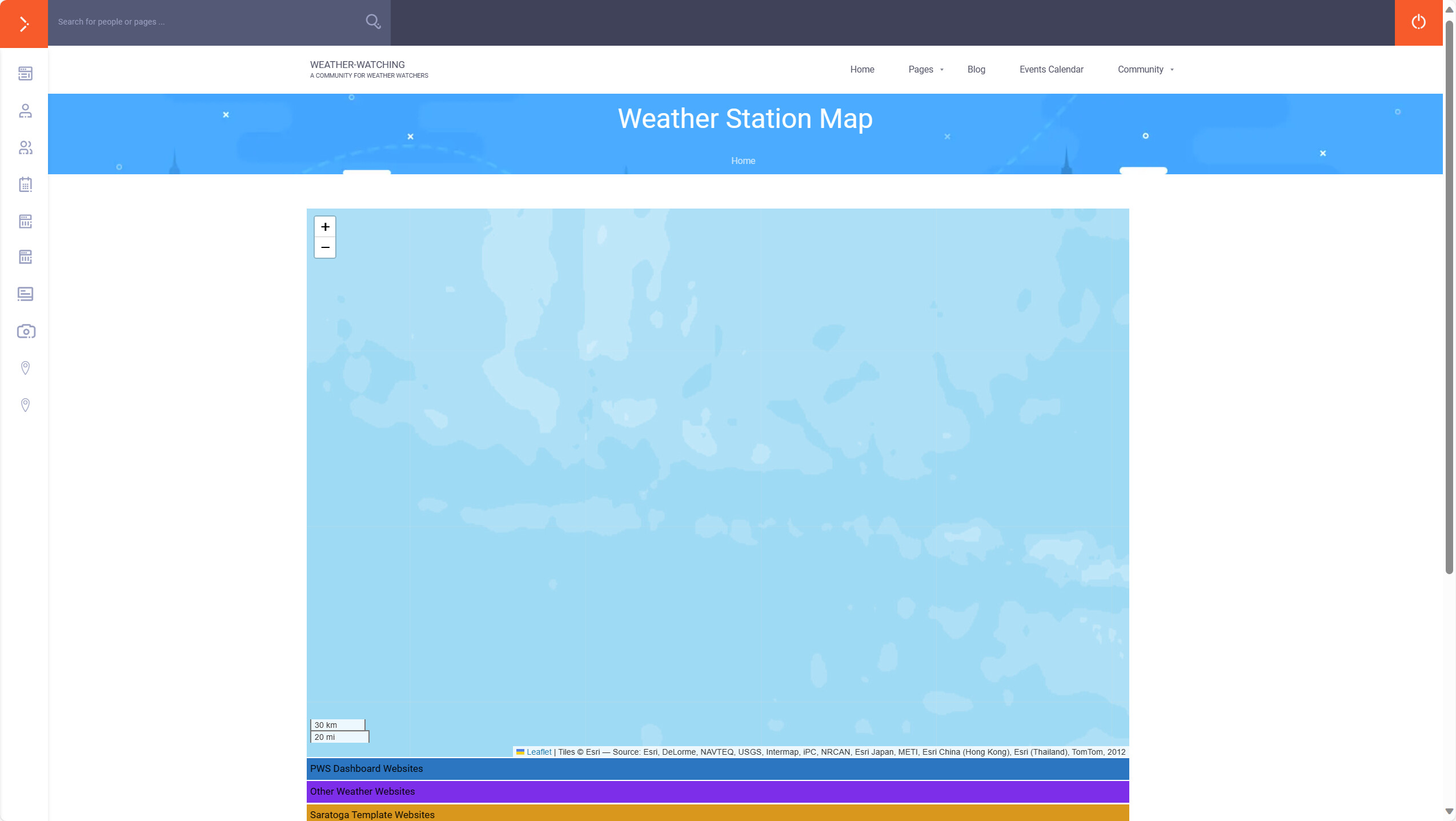
The station and WxSim maps work well but they have some technical and maintenance issues that I’ve been looking for a solution to. I’m currently implementing an alternative mapping solution that resolves two of the main issues.
One of the main improvements with the new system is that when I’m ready I can turn on a feature that allows you to enter your own station details. Once entered I will need to approve them (to prevent spammers from taking advantage) and after approval they will appear on the map without me having to manually enter the details.
Hopefully the new map looks at least as good as the current one!
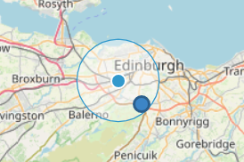
I think the circle shows the area covered by your thaumaturgical influence.
It’s estimating your location and saying that you’re probably somewhere in the circle. It’s not something I’ve investigated yet. It probably isn’t useful to us but I don’t know if I can turn it off.
Does anyone have/know where there are icons for pwsWD or Satatoga templates? I can make the stations have an icon instead of a ‘blob’ but couldn’t immediately see a commonly used icon for either template.
The new maps are fully populated and are now live, in place of the original maps. The old links will probably still work if you have them stored, but they will go away eventually. I’m trying to think about how I can re-direct any attempts to access the old URLs to the new ones, but that’s not particularly straightforward.
If you’d like to add a station/WxSim site to the map you can now do this yourself. If you click on the three bar menu icon (top left of the map) twice, the ‘add new marker’ option is displayed. Click on the option and follow the instructions. The minimum information you need to add is:
Location of marker on the map. The map guesses your location, based on your IP address. This may be wrong though. You can move the marker around until you’re happy with it’s location. You can zoom in to position it as accurately as you want. If you don’t want to very accurately identify your home location just put the marker somewhere nearby, within a mile or so is fine.
Name - The name of you location/station. Please use geographic location names rather than “Chris’s weather station” because it won’t be clear where that is in the list of stations that can be displayed.
There’s a list of ‘template’ types. Pick the one that matches your template, e.g. pwsWD or Saratoga. If there isn’t one for your template, pick ‘Other’. If there are sufficient numbers of a different type I will add more in future. You can add your template type into the Description.
Country
Website - The link to your weather web site
There are also some other fields that you can enter if you’d like, e.g. a description of your station hardware, etc, and you can also upload images of your station. The information/images will be displayed when someone clicks on your station.
When you’ve entered the information you want displayed, click the + button to save. That puts it into an approval queue for me to look at. I’m doing it this way to avoid spammers from populating the map with rubbish.
If you’d like to add a new marker for an existing station on the map, but with extra information, e.g. description and image(s), that’s OK. Please add a brief note in the description that it’s a replacement. I’ll check for duplicates and remove old ones, but a note in the description will speed that process up. I’ll remove the note before publishing the new marker.
Unfortunately there’s no way for you to edit your own marker to add/remove information. If you need to edit your marker, either add a new one or send me a PM with the information you want to change and I’ll edit it for you.
I’ve been doing a bit of digging around on the search engines and have added some more weather station sites. I’ve been trying to find stations in more out-of-the way places where the weather might be a bit more unusual than many people will experience.